怎么把AUTOCAD图形导入到Google Earth中? Google Earth导入CAD图形办法?这需要一些调整设置,你看过了肯定就会,让乐呵呵网小编来演示一下。
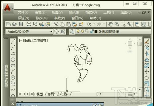
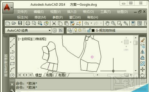
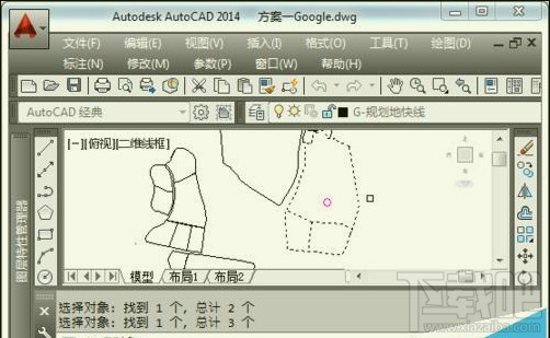
1、打开AutoCad

2、建立相对坐标系统,设置基准点(要已知该点经纬度)为原点
①输入USC→回车
②选择参照点位置(单击)→回车
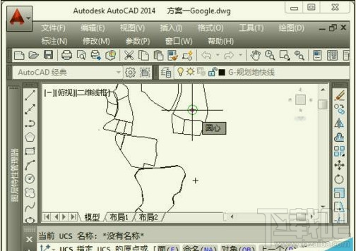
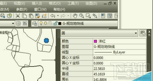
③圆心坐标变为(0,0)
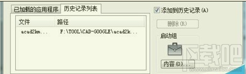
3、加载acad2kml.vlx
①工具→加载应用程序
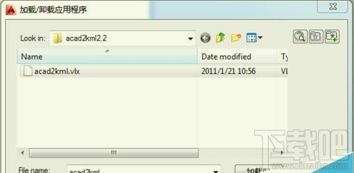
②选择acad2kml.vlx→加载→加载

4、导出CAD图形
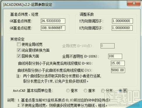
①输入A2K→回车
②输入基准点经纬度→选择基本绘图单位:米→确定→选择保存路径并输入文件名
③选择需要输出的图形→回车
5、Google Earth 加载CAD图形
①打开Google Earth→文件→打开→选择上一步生成的KML文件
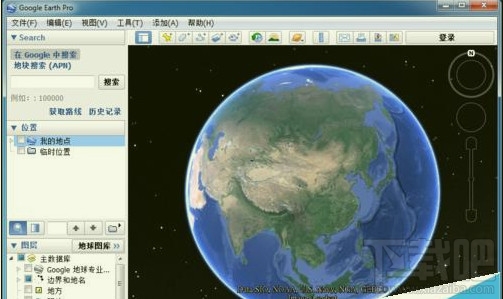
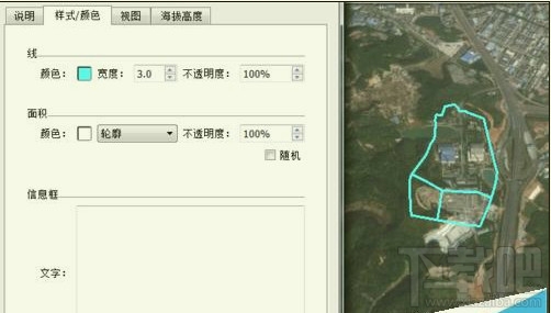
②在侧栏右击导入的文件→属性→在样式/颜色以及海拔高度调整图形的显示